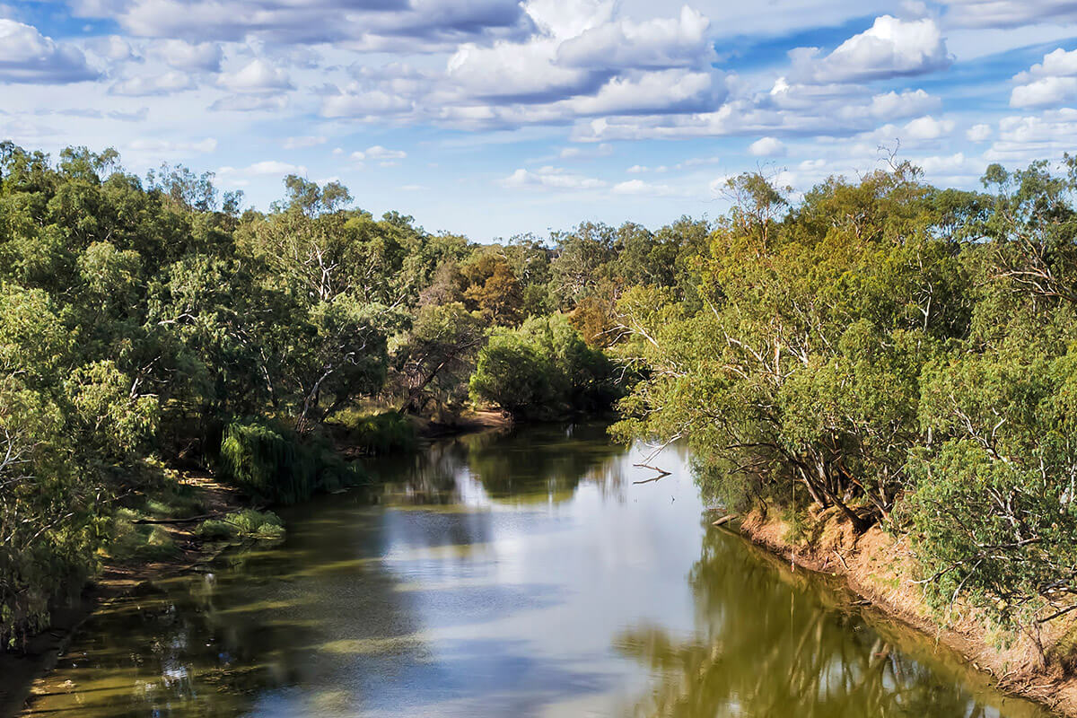
About the region
The Gwydir region is located in northern NSW, bounded by the Border Rivers region to the north, the western slopes of the Great Dividing Range to the east, the Namoi catchment to the south and the Barwon River to the west. It covers area of more than 26,000 km2.
The region is the traditional lands of the Gomeroi/Kamilaroi Nation.
Gwydir Alluvial Groundwater Sources 2020
Status: In force
Commencement date: July 2020
Cease date: June 2030
Read: Gwydir Alluvial Groundwater Sources 2020
This plan has been amended since it commenced. See the NSW legislation site for details.
| Maps | Supporting documentation | Prior water sharing plan status |
|---|---|---|
|
Gwydir Regulated River Water Source 2016
Status: In force (amended)
Commencement date: July 2016
Cease date: June 2026
Read: Gwydir Regulated River Water Source 2016
This plan has been amended since it commenced. See the NSW legislation site for details.
| Maps | Supporting documentation | Prior water sharing plan status |
|---|---|---|
|
|
Gwydir Unregulated River Water Sources 2012
Status: In force (with two year extension)
Commencement date: August 2012
Cease date: June 2025. This plan has lapsed. A replacement plan will be finalised as soon as possible. More detailed information can be found in the Question and answer document.
Read: Gwydir Unregulated River Water Sources 2012
This plan has been amended since it commenced. See the NSW legislation site for details.
| Maps | Supporting documentation | Prior water sharing plan status |
|---|---|---|
|
|
NSW Great Artesian Basin Groundwater Sources 2020
Status: In force
Commencement date: July 2020
Cease date: June 2030
Read: NSW Great Artesian Basin Groundwater Sources 2020
This plan has been amended since it commenced. See the NSW Legislation site for details.
| Maps | Supporting documentation | Prior water sharing plan status |
|---|---|---|
NSW Great Artesian Basin Shallow Groundwater Sources 2020
Status: In force
Commencement date: July 2020
Cease date: June 2030
Read: NSW Great Artesian Basin Shallow Groundwater Sources 2020
This plan has been amended since it commenced. See the NSW Legislation site for details.
| Maps | supporting documentation | Prior water sharing plan status |
|---|---|---|
NSW Murray–Darling Basin Fractured Rock Groundwater Sources 2020
Status: In force
Commencement date: July 2020
Cease date: June 2030
Read: NSW Murray–Darling Basin Fractured Rock Groundwater Sources 2020
This plan has been amended since it commenced. See the NSW legislation site for details.
| Maps | Supporting documentation | Prior water sharing plan status |
|---|---|---|
NSW Murray–Darling Basin Porous Rock Groundwater Sources 2020
Status: In force
Commencement date: July 2020
Cease date: June 2030
Read: NSW Murray–Darling Basin Porous Rock Groundwater Sources 2020
This plan has been amended since it commenced. See the NSW legislation site for details.
| Maps | Supporting documentation | Prior water sharing plan status |
|---|---|---|