About water sharing plans
The purpose of a water sharing plan is to:
- protect the fundamental environmental health of the water source
- ensure the water source is sustainable in the long-term
- provide all water users with a clear picture of when and how water will be available for extraction.
Important information for you
-

 Water sharing plans on exhibition
 -

 Water sharing plan suspensions
 -

 Water sharing plan evaluation process
Find water sharing plans currently on exhibition and open for public comment, along with information on proposed changes.
Section 49B of the Water Management Act 2000 enables all or part of water sharing plans to be suspended if the Minister ‘is satisfied that there is an extreme event in relation to a particular Basin management area or part of the Basin water resources’. An extreme event includes an extreme dry period. The NSW Extreme Events Policy details how water should be managed during these extreme events. The priority is to secure critical human water needs.
Current suspensions
There are currently no water sharing plans under suspension.
Historical expired or repeal suspensions
For information on historical suspensions both expired or repealed visit the Water library.
- Suspension to Water Sharing Plan for the Belubula Regulated River Water Source 2012 - Expired 31 December 2020
- Part suspension to Peel Valley Regulated, Unregulated, Alluvium and Fractured Rock Water Sources 2010 - Expired 30 June 2020
- Suspension to Water Sharing Plan for the Belubula Regulated Rivers Water Sources 2012 - Expired 30 June 2020
- Suspension to Water Sharing Plan for the Macquarie and Cudgegong Regulated Rivers Water Sources 2016 - Expired 30 June 2020
- Suspension to Water Sharing Plan for the Greater Metropolitan Region Unregulated River Water Sources 2011 - Expired 30 June 2020
Read about the process for evaluating water sharing plans.
More about water sharing plans
The regions
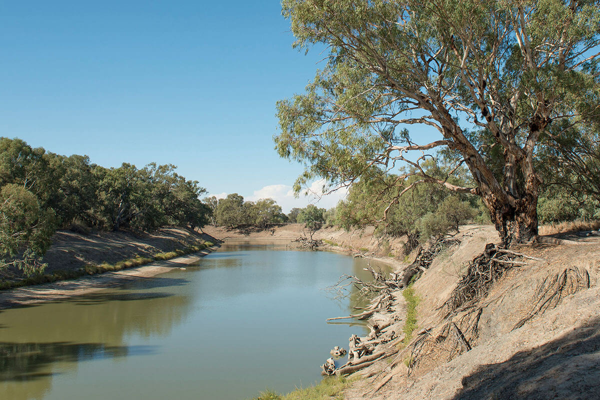
Covering much of western NSW and includes major tributaries such as the Border Rivers, Gwydir, Namoi and Macquarie.
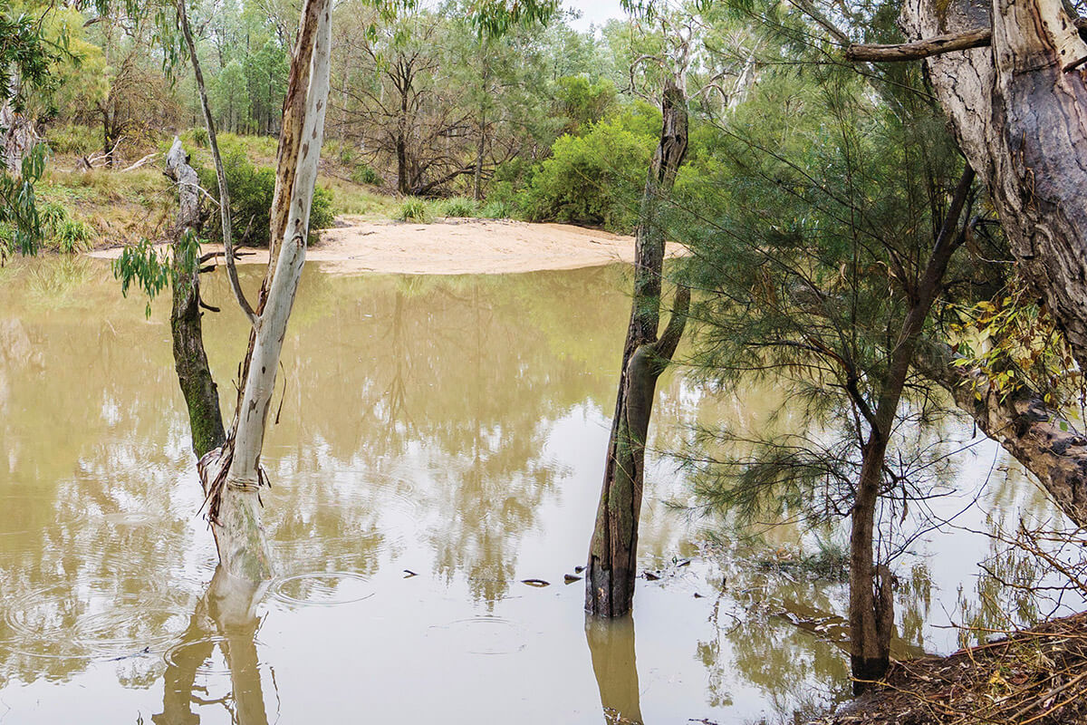
Border Rivers includes the Dumaresq, Severn, Macintyre and Barwon catchments, spanning northern NSW and southern Queensland.
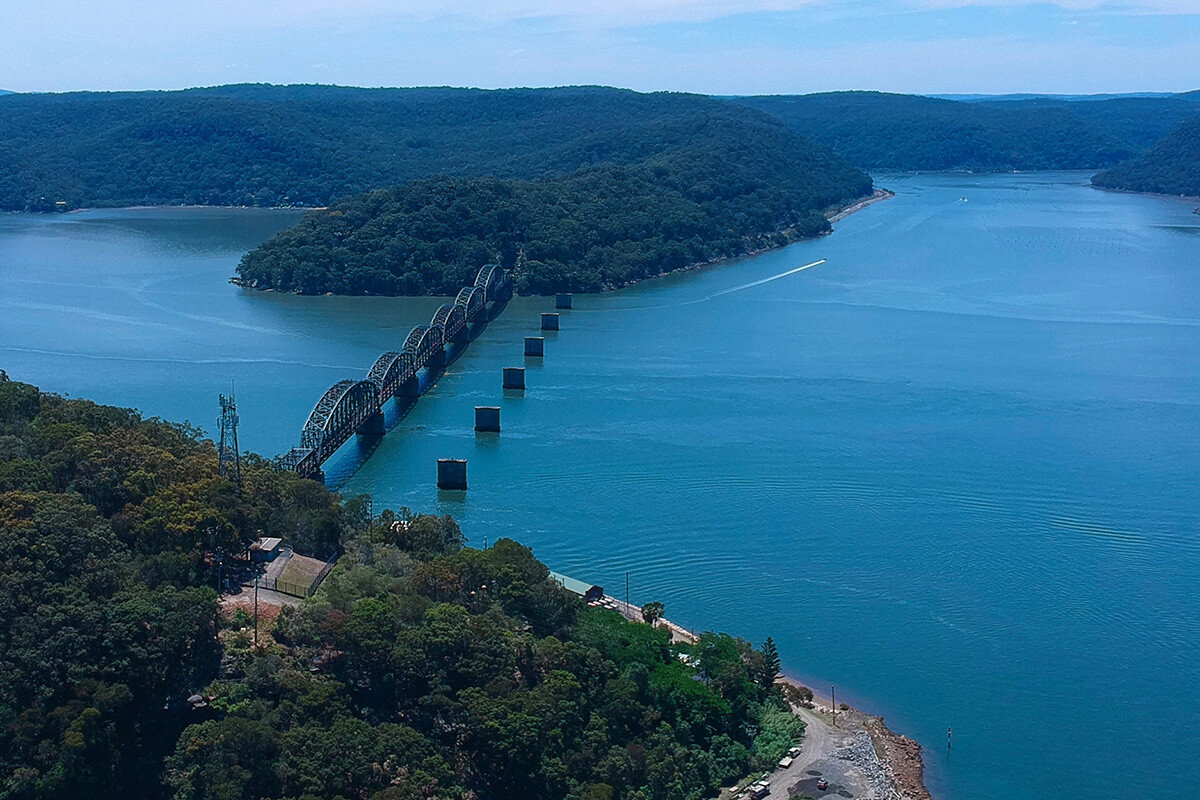
Central Coast covers 1,560 km² and includes Tuggerah Lake, the Wyong and Ourimbah catchments, and parts of the Hawkesbury.
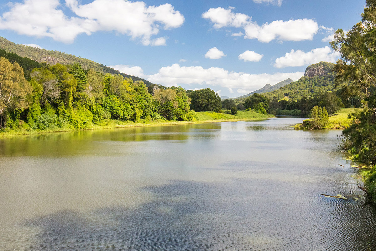
Stretching from north of Coffs Harbour to the Queensland border, covering 10,000 km² and 280 km of coastline.
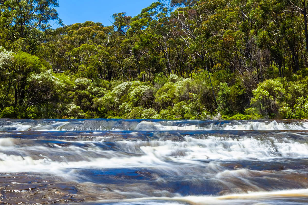
Greater Metropolitan spans south-east NSW from Shoalhaven Heads to Broken Bay, Lithgow and Goulburn, covering 32,500 km².
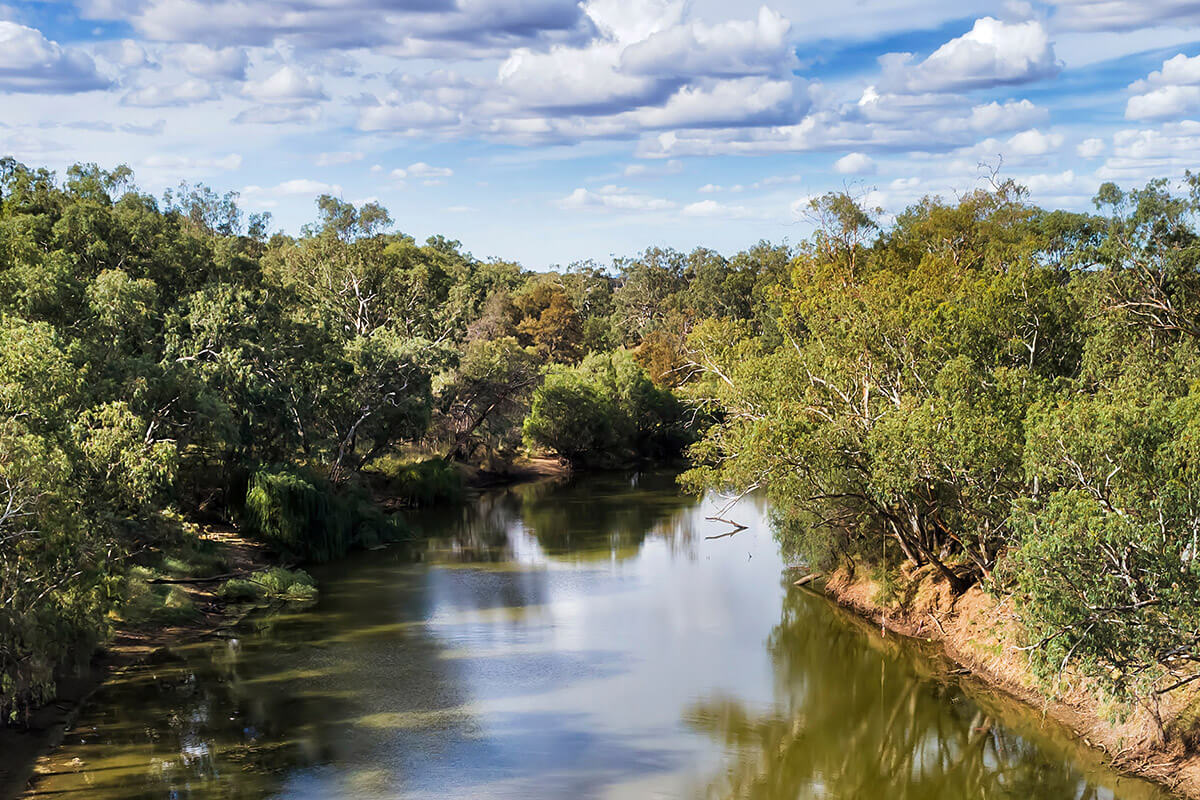
Gwydir region in northern NSW spans over 26,000 km², between the Border Rivers, Namoi, Barwon and Great Dividing Range.
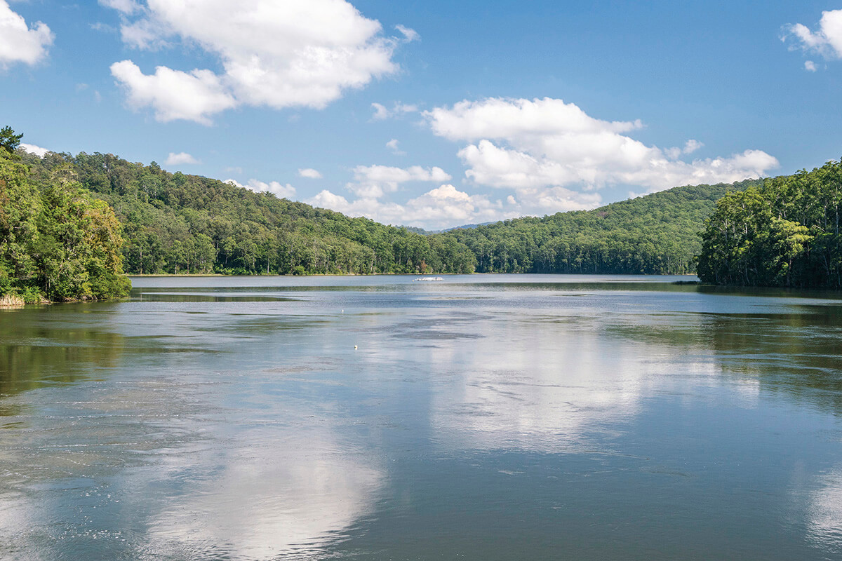
Hunter region is bordered by the Liverpool Ranges and Great Dividing Range, separating it from the Namoi and Macquarie catchments.
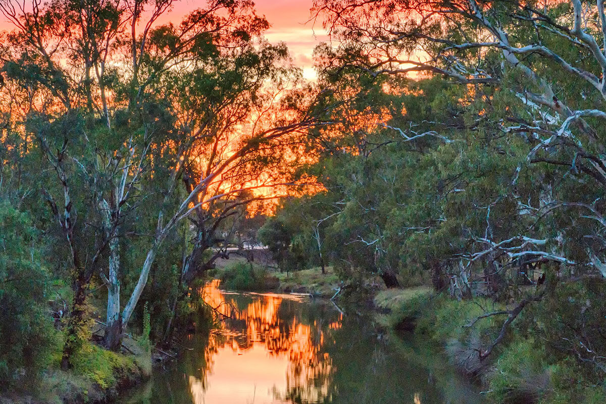
Lachlan region spans 90,000 km² across central NSW, from near Gunning to the Lachlan-Murrumbidgee junction near Oxley.
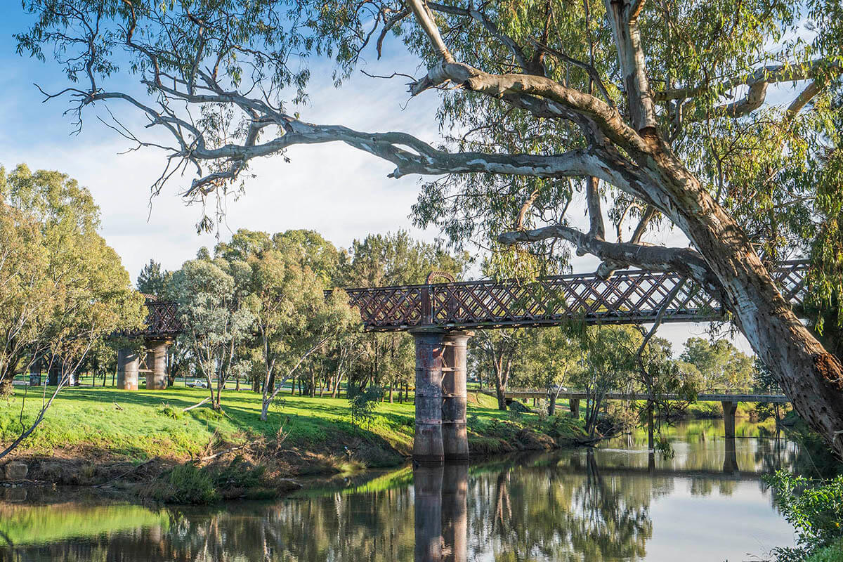
Macquarie-Castlereagh region spans 92,000 km² in central NSW and includes the Macquarie and Castlereagh catchments.
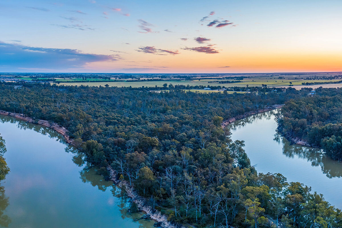
Murray region covers over 20,500 km², bordered by the Great Dividing Range, Victoria and the Murrumbidgee region.
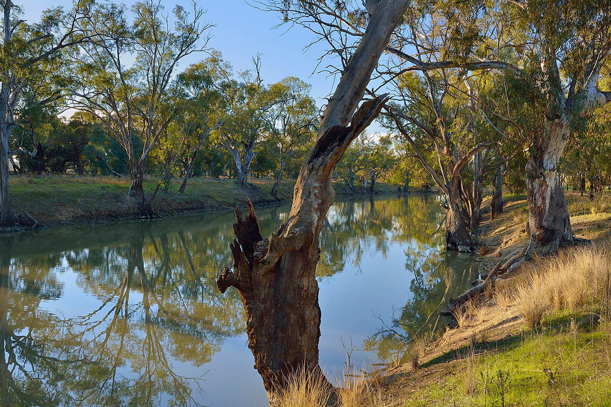
Murrumbidgee region covers over 84,000 km², bordered by the Great Dividing Range, Lachlan catchment and Murray region.
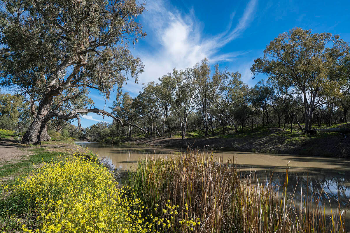
Namoi region covers over 43,000 km², bounded by the Great Dividing, Liverpool, Warrumbungle and Nandewar ranges.
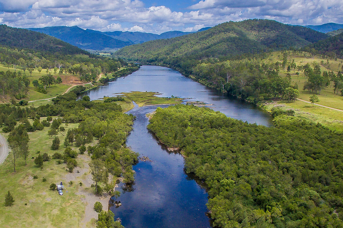
North Coast region lies between the Central Coast and Far North Coast regions, covering more than 17,000 km².

South Coast region spans 14,440 km² between Victoria, the Southern Tablelands escarpment and Greater Metropolitan region.
Map of water sharing plan regions
Overview of environmental flow rules
The environmental rules are designed to provide water for the environment across a range of flow events from floods to very low flows. The following diagram illustrates the importance of different flow ranges to a river's environment.
In addition to the cap on extractions in the Murray-Darling Basin, NSW has embarked on a process of allocating water to the environment. The economic and social development of NSW relies on the assured water supplies that are provided by our water storages. It is therefore not possible to return our rivers to their natural condition.
However, in NSW we have now prepared statutory water sharing plans for most of the major river systems, protecting both the total volume of water for the environment and the natural variability in flows. That is the low flows, moderate flows, freshes and floods. The environmental rules in the water sharing plans are designed to:
- limit extractions so that the major share of water is protected in the inland systems
- replicate natural flow patterns or events so as to provide water when and where it will best meet environmental needs.
The environmental flow rules are based on the broad river flow objectives that set out 12 aspects of flow considered to be critical for the protection or restoration of river health, ecology and biodiversity. The objectives were subject to extensive public consultation and endorsed by the NSW Government in 1999.
Outcomes achieved from the environmental flow rules
In the long term, the rules will make significant progress towards restoring important aspects of the natural flow regime. For example:
- Namoi River – 75% of the natural frequency of the mid river beneficial flooding will be reinstated
- Lachlan River – the frequency of significant floods will be returned to 65% of natural
- Gwydir River – Gwydir wetlands will now receive 85% of natural overbank flow.
The release of water stored in the dam for the environment is designed to support natural flows. In the Murrumbidgee Valley, environmental releases in 2000 from Blowering and Burrinjuck Dams successfully 'piggy backed' onto a natural river fresh to produce the most significant filling of billabongs along the Murrumbidgee River since 1996. Since 2000, drought conditions in all valleys have limited the opportunities for environmental releases. However, the releases that have occurred have provided some positive environmental outcomes.
River flow objectives
The environmental flow rules are based on the following broad river flow objectives that set out 12 aspects of flow considered to be critical for the protection or restoration of river health, ecology and biodiversity. The objectives were subject to extensive public consultation and endorsed by the NSW Government in 1999.
The river flow objectives are to:
- protect natural water levels in pools of creeks and rivers and wetlands during periods of no flow
- protect natural low flows
- protect or restore a proportion of moderate flows, 'freshes' and high flows
- maintain or restore the natural inundation patterns and distribution of floodwaters supporting natural wetland and floodplain ecosystems
- mimic the natural frequency, duration and seasonal nature of drying periods in naturally temporary waterways
- maintain or mimic natural flow variability in all rivers
- maintain rates of rise and fall of river heights within natural bounds
- maintain groundwaters within natural levels, and variability, critical to surface flows or ecosystems
- minimise the impact of in-stream structures
- minimise downstream water quality impacts of storage releases
- ensure river flow management provides for contingencies
- maintain or rehabilitate estuarine processes and habitats.
The purpose of the river flow objectives is to produce specific environmental benefits such as:
- improved survival of ecosystems and aquatic biodiversity
- improved water quality
- healthier wetlands
- improved habitat quality and increased variability of habitat for native fish, frogs, waterbirds and other native fauna, including invertebrates
- more successful breeding of native birds, fish and other native fauna, which only breed in response to specific environmental triggers, for example, rising or falling water levels in the natural seasons
- more natural inundation of flood plains and wetlands, leading to better health and productivity (such as grazing), protection of endangered species, biodiversity and water quality
- discouragement of alien pest species, such as carp, which favour regulated conditions
- improved health of in-stream and riparian vegetation, leading to greater bank stability, improved efficiency of buffer strips in protecting water quality, and reduced erosion and turbidity
- reduced frequency of algal blooms.
River management
Regulated
The actual environmental flow rules in the water sharing plans for the regulated rivers vary from valley to valley, depending on which of the above objectives were considered most important for that valley. Management rules in regulated river systems have a lot of flexibility because of the ability of the major storages to provide for environmental flow management. Therefore rules may include controls on extractions under certain conditions as well as management of dam releases. The range of rules which apply are set out in the table below. Changes to the rules for regulated valleys may occur as part of the revision of Water Sharing Plans for 2019.
| Environmental flow rules in the regulated rivers | Purpose | Valleys where rule applies |
|---|---|---|
| Extraction limit | Sets a limit on the long term average annual volume of water that can extracted, thus protecting the major share of water for the environment. | All regulated rivers |
| End-of-system flow | Requires a flow to be retained at the end of the river system. This ensures that flow is maintained below the areas of major extraction. | Belubula Namoi Murrumbidgee Hunter Paterson |
| Transparent dam release | Requires all dam inflows occurring at certain times to be passed immediately downstream, as though no dam was present. This maintains natural flow variability for that part of the year (usually the winter months) when dam releases would otherwise be minimal. | Murrumbidgee |
| Translucent dam release | Requires a proportion of dam inflows occurring at certain times to be passed immediately downstream. This restores the natural flow variability associated with specific flow ranges, usually freshes and minor floods. | Lachlan Macquarie Murrumbidgee NSW Border Rivers |
| Limits on taking high flows | Limits pumping when the dam spills or high flows enter the regulated river from unregulated tributaries. This protects either some or all of these naturally occurring high flows which are important for flooding of wetland areas. | Belubula Gwydir Hunter Paterson Macquarie NSW Border Rivers |
| Limits on taking low flows | Limits pumping from lower flows that enter the regulated river from unregulated tributaries. This ensures that sufficient water is retained in the river for the environment. | Gwydir |
| Supply minimum flows downstream of dam | Minimum release to maintain continuous low flow in the section of river immediately downstream of the dam wall. | Murrumbidgee NSW Border Rivers |
| Environmental water allowances or releases | Creates a 'bank' or volume of water stored in the dam which can be released for specific environmental purposes, such as flushing blue-green algal blooms, reducing salinity or supporting bird breeding or fish spawning events. | Gwydir Macquarie Lachlan NSW Murray Murrumbidgee Hunter NSW Border Rivers Paterson Peel |
Unregulated
Flows in unregulated rivers can only be protected through controls on extraction. In most unregulated rivers, it is during drier periods when flows are naturally low that there is generally greatest concern for the health of the river. This is when pools contract, water quality deteriorates rapidly, algal blooms occur, oxygen levels decline and fauna compete for the reducing food supplies. The water sharing plans for the unregulated rivers therefore require licence holders to stop pumping when the river flow falls below a certain level, referred to as cease to pump (CtP) rules. In addition many of the plans set limits on how much water can be taken from different flow ranges or classes. Additional measures including daily extraction limits are being considered for unregulated systems such as the Barwon-Darling.
Transparent and translucent flows
Translucent rules have been in operation in New South Wales (NSW) for well over a decade. Water sharing and delivery regimes have changed over that time, including the introduction of the environment as a legitimate water user. On 6 July 2016, in response to community interest, the minister announced a review of the flow rules to check that they are usefully serving their intended purpose.
The Translucency rules in NSW inland rivers - Scoping review (February 2018) report represents a stocktake of the current rules in inland NSW regulated rivers; their diversity and intended purpose and an overview of options and implications for change.
Translucent flows in the Macquarie Cudgegong Water Source
The translucency rule was suspended in late 2021 due to flood risk in the Macquarie. The risk of flooding has subsided, therefore the rule is being reinstated.
Translucency releases from Windamere Dam will recommence in February 2022 when Burrendong Dam storage levels fall below 120% and into Bay 1 of the Flood Mitigation Zone.
What are transparent and translucent flows?
A transparent flow occurs in a regulated river system when inflows are passed through a regulating structure – usually a dam – to enable a near-natural flow pulse into the river system. A translucent flow is similar, however; only a portion of the inflow volume is passed.
This does not involve the use of licensed environmental water, but is instead a fixed rule that designates water to be made available for an environmental purpose under certain conditions.
Such conditions trigger when releases are made, and in the case of translucent flows, determine the proportion of inflows to be released. These conditions could include a date range (usually winter/spring), catchment conditions (whether dry, normal or wet), environmental volume already released in the water year, current downstream inflows, existing storage volume, inflows to date and inflow triggers.
All water sharing plans are independently audited and reviewed by the Natural Resources Commission (NRC) during their 10-year term. This is a requirement of the Water Management Act 2000.
Audits
Water sharing plans are audited under section 44 of the Act to determine whether the plan’s rules are being put into practice.
The NRC completes audits within 5 years of a plan commencing. Information on plan audits in progress or completed by the NRC can be found on their website. The current schedule for plan audits is below. Note: this schedule may change where plans are replaced.
We are also working to improve implementation of water sharing plan rules by establishing a theme-based, approach to implementing water sharing plans.
As part of this work, the department is now publishing annual reports on implementation of water sharing plan rules. This is in direct response to the 2020 ICAC Report.
- Schedule - Audit of floodplain management plans under Section 44 of the Water Management Act 2000
- 2024-25 Annual Water Sharing Plans Implementation Report (PDF, 6645.51 KB)
Schedule
Schedule for plan audits. You can view the schedule for NRC audits on their website.
Audit reports and report cards
Between 2015 and 2018, audits were completed under the direction of an independent panel. Copies of the independent audit reports covering water sharing plans 2015-18 as well as the previous reports dating back to 2004 are available in the Water Archive.
Reviews
Water sharing plans are audited under section 43A of the Water Management Act 2000.
NSW water sharing plans are valid for 10 years from their commencing date. Plans may be amended during their life to ensure they comply with changing legislation and to facilitate their implementation.
Near the end of the 10-year term the NRC completes a formal review to identify whether changes to plan rules are needed to deliver better outcomes for all water users, including the environment. Information on plan reviews in progress or completed by the NRC can be found on the NRC website.
You can view the current schedule for plan reviews on the NRC website. Note: this schedule may change where plans are replaced.
What is the review process?
Under the Water Management Act 2000 the Minister may, on recommendation by the Natural Resources Commission, extend a water sharing plan for another 10 years or replace the plan.
Extension refers to the extension of a plan for a further 10 years without change. Replacement is where changes to the existing plan are proposed.
In some cases where a smaller plan is being replaced, it may be merged into a larger plan.
Download the flowchart (JPG, 223.55 KB)
What does this mean for me?
Where a plan will be replaced or amended, the department will undertake consultation with stakeholders, which may include a formal public exhibition period, targeted consultation or other meetings or workshops, depending on the nature of the amendments proposed and the needs of stakeholders.
More information on how the department assesses the effects of water sharing plan rule changes can be found on the Assessing the effects of water sharing plan rule changes - Fact sheet (PDF, 292.73 KB)
How can I be involved?
The department will notify licence holders and other stakeholders when the review of a water sharing plan is due to commence. The department collaborates with the Natural Resource Commission, consulting with stakeholders and gathering information to inform reviews.
Water sharing plans undergoing a review are advertised on the Have your say website and submissions are collated by the Natural Resource Commission and shared with the department. This is generally followed by targeted stakeholder meetings to discuss issues and understand stakeholder concerns.
Learn the basics about water sharing plans, what they are and why we need them.