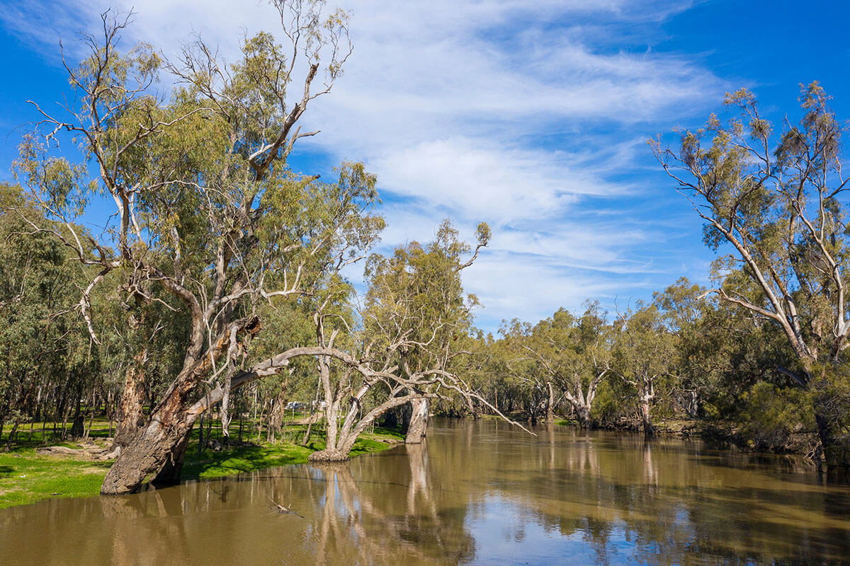
Summary of current water allocations
The tables below summarise the current water allocations for:
- regulated rivers
- unregulated rivers
- groundwater water sources.
Allocations that are normally expressed in megalitres per unit share–for example high security, general security and aquifer access–are expressed as percentages in the tables below. One megalitre (ML) per unit share equates to 100% allocation, whereas 0.50 ML per share equates to 50% allocation and 0.05 ML per share equates to 5% allocation.
Rules for sharing water between water users and the environment are outlined in each respective water sharing plan, as well as defining shares in the available water for licence holders.
Carryover water
Water users may have access to water in their account carried over unused from the previous year. Carryover rules vary between water sources and between licence categories. Towns, domestic and stock, and most high security licence categories cannot carryover.
Allocations
-
Current allocations – Regulated rivers
-
Current allocations – Unregulated rivers
-
Current allocations – Groundwater
| Regulated river water source | Cumulative allocation for 2026-27 | Licence category | Date of latest allocation announcement |
| Murray | 18% | General security | 1 September 2026 |
| 97% | High security | 1 July 2026 | |
100% | High security (sub-categories) | 1 July 2026 | |
| 100% | Domestic and stock | 1 July 2026 | |
| 100% | Local water utilities | 1 July 2026 | |
| Lower Darling | 30% | General security | 1 July 2026 |
100% | High security | 1 July 2026 | |
100% | Domestic and stock | 1 July 2026 | |
100% | Local water utilities | 1 July 2026 | |
| Murrumbidgee | 34% | General security | 1 September 2026 |
95% | High security | 1 July 2026 | |
100% | High security (sub-categories) | 1 July 2026 | |
| 100% | Domestic and stock | 1 July 2026 | |
100% | Local water utilities | 1 July 2026 | |
| Lachlan | 10% | General security | 8 September 2026 |
100% | High security | 1 July 2026 | |
100% | Domestic and stock | 1 July 2026 | |
100% | Local water utilities | 1 July 2026 | |
| Belubula | 0% | General security | 1 July 2026 |
100% | High security | 1 July 2026 | |
100% | Domestic and stock | 1 July 2026 | |
| Macquarie and Cudgegong | 0% | General security | 10 July 2025 |
100% | High security | 1 July 2026 | |
100% | High security (sub categories) | 1 July 2026 | |
100% | Domestic and stock | 1 July 2026 | |
100% | Local water utilities | 1 July 2026 | |
| Lower Namoi | 0% | General security | 7 July 2026 |
100% | High security | 1 July 2026 | |
100% | High security (sub-categories) | 1 July 2026 | |
100% | Domestic and stock | 1 July 2026 | |
100% | Local water utilities | 1 July 2026 | |
| Upper Namoi | 100% | General security | 1 July 2026 |
100% | High security | 1 July 2026 | |
100% | Domestic and stock | 1 July 2026 | |
100% | Local water utilities | 1 July 2026 | |
| Peel | 100% | General security | 4 September 2026 |
100% | High security | 1 July 2026 | |
100% | Domestic and stock | 1 July 2026 | |
100% | Local water utilities | 1 July 2026 | |
| Gwydir | 0% | General security | 7 July 2026 |
100% | High security | 1 July 2026 | |
100% | Domestic and stock | 1 July 2026 | |
100% | Local water utilities | 1 July 2026 | |
| NSW Border Rivers | 0% | General security A Class | 1 July 2026 |
0% | General security B Class | 1 July 2026 | |
100% | High security | 1 July 2026 | |
100% | Domestic and stock | 1 July 2026 | |
100% | Local water utilities | 1 July 2026 | |
| Richmond | 100% | General security | 1 July 2026 |
100% | High security | 1 July 2026 | |
100% | Domestic and stock | 1 July 2026 | |
| Paterson | 100% | General security | 1 July 2026 |
100% | High security | 1 July 2026 | |
| 100% | High security (town water supply) | 1 July 2026 | |
100% | Domestic and stock | 1 July 2026 | |
| Hunter | 100% | General security | 1 July 2026 |
100% | High security | 1 July 2026 | |
100% | Domestic and stock | 1 July 2026 | |
100% | Local water utilities | 1 July 2026 | |
| Bega-Brogo | 40% | General security | 1 July 2026 |
100% | High security | 1 July 2026 | |
100% | High security (town water supply) | 1 July 2026 | |
100% | Domestic and stock | 1 July 2026 |
* Water availability and allocation will be provided in the next routine water allocation statement.
| Unregulated river water source | Cumulative allocation for 2026-27 | Licence category | Date of latest allocation announcement |
| All unregulated river water sources (excluding Hunter River, Paterson River, and Wallis Creek tidal pool water sources) | 100% | All categories | 1 July 2026 |
| Hunter River, Paterson River, and Wallis Creek tidal pool water sources | 75% | Unregulated river | 1 July 2026 |
| Groundwater water source | Cumulative allocation for 2026-27 | Licence category | Date of latest allocation announcement |
| Gundagai Alluvial Groundwater Source | 98.4% | Aquifer (high security) | 1 July 2026 |
| Peel Alluvium Groundwater Source | 100% | Aquifer (general security) | 4 September 2026 |
| Upper Namoi Zone 1, Borambil Creek Groundwater Source | 230% | Aquifer | 1 July 2026 |
| All other groundwater sources | 100% | All other licence categories | 1 July 2026 |
Drought stage
The current drought stage for each inland river valley is listed in the table. These can range from Stage 1 (Normal operations) to Stage 4 (Critical drought). The drought stage is determined by the extent of operational, allocation or restriction measures that may need to be applied during water shortages or as the system recovers. Further information is available at extreme events.
| Water source | System type* | Drought stage | Date of last stage change |
| Lower Darling | Regulated river | Stage 1 | April 2021 |
| Barwon-Darling | Unregulated river | Stage 1 | April 2021 |
| Lower Namoi | Regulated river | Stage 1 | January 2021 |
| Upper Namoi | Regulated river | Stage 1 | January 2021 |
| Macquarie | Regulated river | Stage 1 | September 2020 |
| Cudgegong | Regulated river | Stage 1 | August 2020 |
| Gwydir | Regulated river | Stage 1 | January 2021 |
| NSW Border Rivers | Regulated river | Stage 2 | September 2026 |
| Belubula | Regulated river | Stage 1 | April 2021 |
| Peel | Regulated river | Stage 1 | January 2021 |
| Lachlan | Regulated river | Stage 1 | September 2020 |
| Murray | Regulated river | Stage 1 | August 2020 |
| Murrumbidgee | Regulated river | Stage 1 | August 2019 |
| Hunter | Regulated river | Stage 1 | August 2020 |
| Richmond | Regulated river | Stage 1 | February 2020 |
| Bega/Brogo | Regulated river | Stage 1 | February 2020 |
Water allocation statements
Receive email updates on water allocations and availability across various sources.