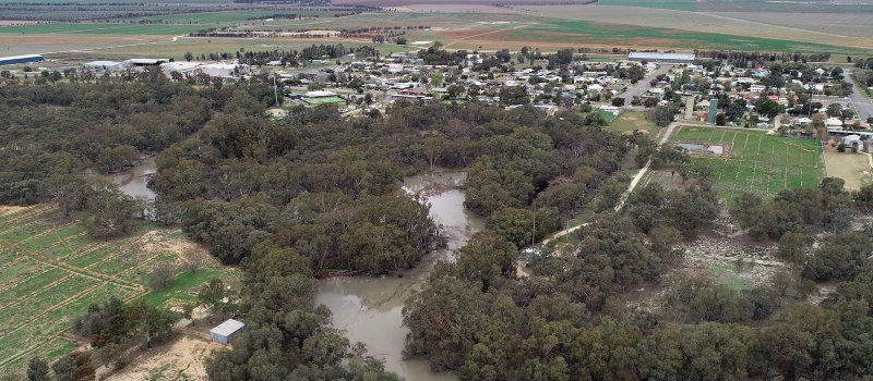
On public exhibition
The draft Billabong Creek Floodplain Management Plan is on public exhibition from 29 September to 16 November 2025.
The department is developing a whole-of-valley floodplain management plan under the Water Management Act 2000 for Billabong Creek. This will replace the existing floodplain management plan that was originally developed under the Water Act 1912.
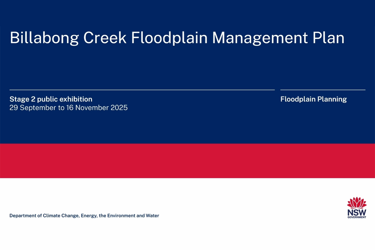
Stage 2 public exhibition
We are seeking feedback on the draft Billabong Creek Floodplain Management Plan through Stage 2 public exhibition, including a formal submission process from 29 September until 16 November 2025.
Draft Billabong Creek Floodplain Management Plan
The draft plan in its legal format is open for comment. The draft plan includes the proposed floodplain boundary, management zones, and rules and assessment criteria for granting or amending approvals for flood works.
Supporting materials
To assist you in understanding the proposed management zones, associated rules and assessment criteria, and how to make a submission, please:
- read the Report to assist Stage 2 public exhibition
- watch the pre-recorded presentation below
- view the interactive spatial map
- read the fact sheet
- book an individual 40-minute appointment with departmental staff who can provide a summary of the draft plan and answer your questions.
Book an online appointment
Book an online appointment for October and early November.
Appointments are available from 9am – 11am and 1pm – 3pm.
Relevant stakeholder groups can also request a meeting by emailing floodplain.planning@dpie.nsw.gov.au or calling 1300 081 047.
Make a submission
If you would like to make an online submission, please click the button below.
Have your say
Alternatively, you can download the submission form and return it to us by email at floodplain.planning@dpie.nsw.gov.au, or post to:
Attention: Floodplain Planning
Billabong Creek FMP
Water Group - NSW DCCEEW
Locked Bag 5022
Parramatta NSW 2124
Submissions will be accepted until 11:59 PM on Sunday 16 November 2025.
All feedback is important and will be considered when preparing the final floodplain management plan.
A What we heard report will be prepared to summarise the feedback received and published on this page. All submissions, including maps, received by the NSW Department of Climate Change, Energy, the Environment and Water will be made available on request.
The department values your input and accepts that information you provide may be private and personal. When making submissions available, including maps, the department will make every effort to redact personal and identifying information (your name will be included if you provide us with permission to do so). If you want your name to be treated as confidential, please indicate this by ticking the relevant box in the submission form.
When the plan is finalised, it will be submitted for approval from the Minister for Water and concurrence from the Minister for the Environment. The plan is scheduled to commence on 1 July 2026.
Stage 1 public consultation
Stage 1 public consultation was open from 8 October to 18 November 2024. Feedback was invited on key elements of the draft plan.
- To find out more about the key elements that were proposed during Stage 1 public consultation, you can read the Report to assist stage 1 public consultation
- A summary of the feedback we received is available in a What we heard report
- Read the feedback we received in 100 formal submissions for Stage 1 public consultation: download the submissions.
- View the maps included with submissions.
Timeline
-
October – November 2024
Stage 1 public consultation
You shared your feedback on key elements of the draft plan.
-
November 2024 – March 2025
Review
We developed the full draft plan, using your feedback from Stage 1 public consultation to inform that development.
-
Now
Stage 2 public exhibition
The full draft plan is on public exhibition from Monday 29 September until Sunday 16 November 2025.
-
Late 2025 onwards
Review feedback and refine the plan
We’ll review what you tell us in Stage 2 public exhibition and refine the draft plan. If required, we may seek further feedback from affected landholders.
-
Early 2026
Endorsement
Meet with the Interagency Working Group to seek endorsement of the final plan before submitting it for approval to the Minister for Water and concurrence from the Minister for the Environment.
-
Early to mid 2026
Commencement
The plan is published on the NSW Legislation website and is given legal status.
Assistance
If you require assistance in reading these documents, please contact 1300 081 047 or water.enquiries@dcceew.nsw.gov.au
Note
The department is consulting on several programs across the Riverina, including the Reconnecting River Country Program. These consultation activities do not directly form part of our work to develop the Billabong Creek Floodplain Management Plan. For more information on these programs, please see the Have your say page.
A fact sheet with further information and frequently asked questions about floodplain management plans and the Reconnecting River Country Program is also available to read.