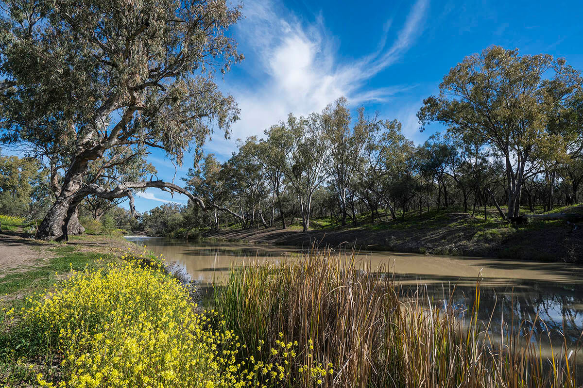
About the region
The Namoi region bounded by the Great Dividing Range in the east, the Liverpool Ranges and Warrumbungle Ranges in the south, and the Nandewar Ranges and Mount Kaputar to the north. It covers an area of over 43,000 km2.
The region is the traditional lands of the Gomeroi/Kamilaroi Nation.
Namoi Alluvial Groundwater Sources 2020
Status: In force
Commencement date: July 2020
Cease date: June 2030
Read: Namoi Alluvial Groundwater Sources 2020
This plan has been amended since it commenced. See the NSW legislation site for details.
| Maps | Supporting documentation | Prior water sharing plan status |
|---|---|---|
|
Namoi and Peel Unregulated Rivers Water Sources 2026
Status: In force
Commencement date: April 2026
Cease date: June 2036.
NSW Great Artesian Basin Groundwater Sources 2020
Status: In force
Commencement date: July 2020
Cease date: June 2030
Read: NSW Great Artesian Basin Groundwater Sources 2020
This plan has been amended since it commenced. See the NSW Legislation site for details.
NSW Great Artesian Basin Shallow Groundwater Sources 2020
Status: In force
Commencement date: July 2020
Cease date: June 2030
Read: NSW Great Artesian Basin Shallow Groundwater Sources 2020
This plan has been amended since it commenced. See the NSW Legislation site for details.
| Maps | Supporting documentation | Prior water sharing plan status |
|---|---|---|
NSW Murray–Darling Basin Fractured Rock Groundwater Sources 2020
Status: In force
Commencement date: July 2020
Cease date: June 2030
Read: NSW Murray–Darling Basin Fractured Rock Groundwater Sources 2020
This plan has been amended since it commenced. See the NSW legislation site for details.
NSW Murray–Darling Basin Porous Rock Groundwater Sources 2020
Status: In force
Commencement date: July 2020
Cease date: June 2030
Read: NSW Murray–Darling Basin Porous Rock Groundwater Sources 2020
This plan has been amended since it commenced. See the NSW legislation site for details.
| Maps | Supporting documentation | Prior water sharing plan status |
|---|---|---|
Peel Regulated River Water Source 2022
Status: In force
Commencement date: July 2022
Cease date: June 2032
Read: Peel Regulated River Water Source 2022
This plan has been amended since it commenced. See the NSW legislation site for details.
| Maps | Supporting documentation | Prior water sharing plan status |
|---|---|---|
|
|
|
Upper Namoi and Lower Namoi Regulated River Water Sources 2016
Status: In force (with two year extension)
Commencement date: July 2016
Cease date: June 2028
Read: Upper Namoi and Lower Namoi Regulated River Water Sources 2016
This plan has been amended since it commenced. See the NSW Legislation site for details.